The tools for creating intersections and paths appear in the header.
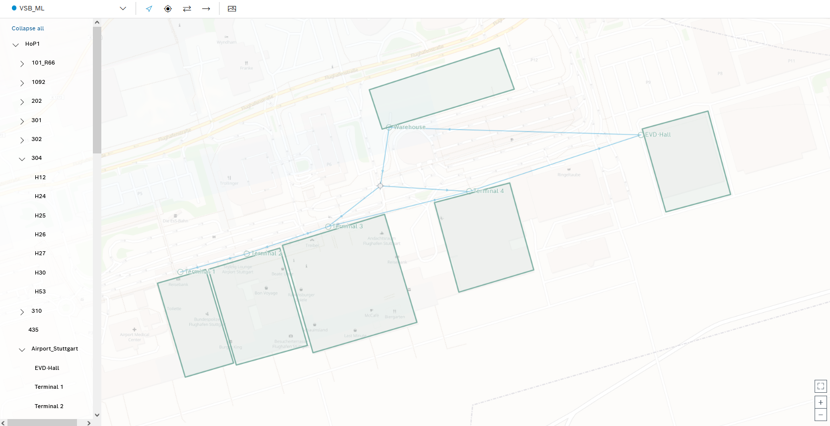
Paths already defined for the selected service areas are shown in color in the map view. A coverage area and the paths assigned to it are each shown in a color.
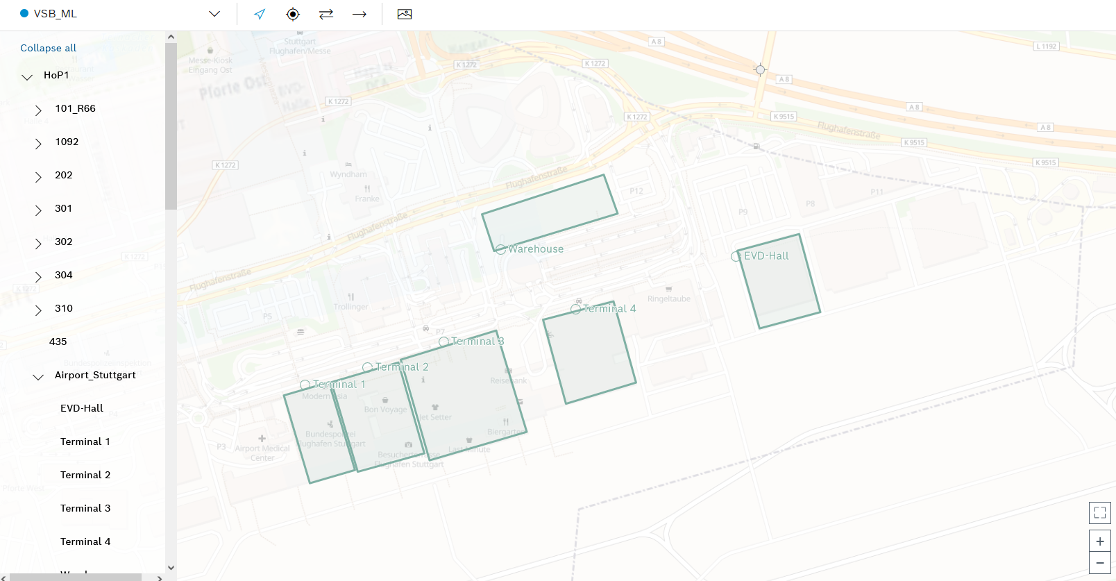
To display the tools for creating intersections and paths, no location must be selected in the hierarchy of locations.
- In the map view, click the required location where an intersection is to be created.
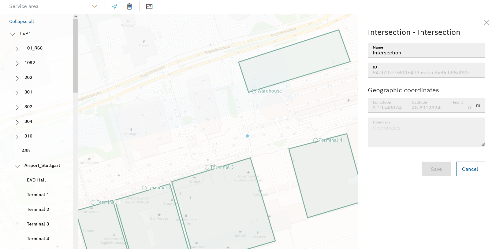
The new intersection is marked with a blue dot and the detailed view of the new intersection appears on the right-hand side.
- If necessary, amend the Name at the intersection and accept the change by clicking Save.
The tools for creating intersections and paths appear in the header.
The simple path leads in one direction only.
Created points can be geographical coordinates, intersections or handles of boundaries (outlines) of a location.
Adding or Editing a Boundary for a Location
- Use the mouse to select the created point from which the path is to start.
- Use the mouse to select the created point where the simple path is to end.
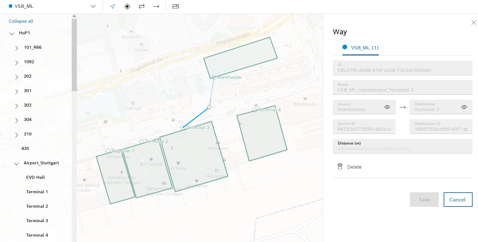
The newly created path shown as a blue line in the map view. For simple paths that are not selected, the direction of the path is indicated by a small arrow pointer.
The detailed view of the newly created path appears on the right-hand side. - If necessary, enter the distance between the created points that the path connects in the Distance text box and accept the change with Save.
If no distance is specified, the distance is calculated automatically.
The tools for creating intersections and paths appear in the header.
- Use the mouse to select the two created points that are to be connected by a path in both directions.
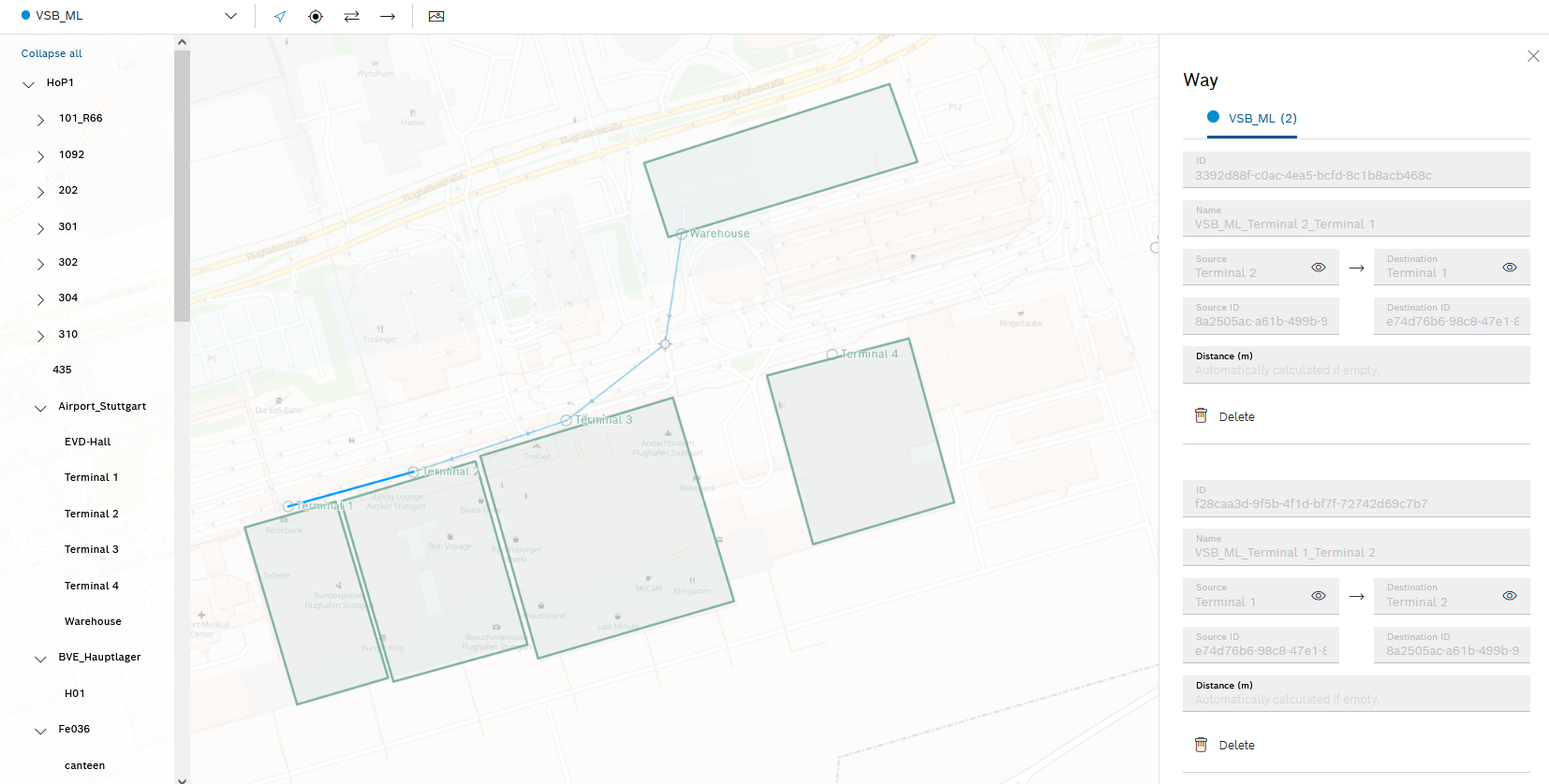
The newly created path is shown as a blue line in the map view. For tracks in both directions that are not selected, small arrow pointers indicate that both directions of the path are valid.
The detailed view of the newly created path appears on the right-hand side. In the detailed view, the path in both directions is divided into two paths: One path from A to B and one path from B to A. - If necessary, enter the distances between the created points that connect the paths in the Distance text field.
If no distance is specified, the distance is calculated automatically.
- If necessary, accept changes with Save.
Example of a network of paths for a service area: