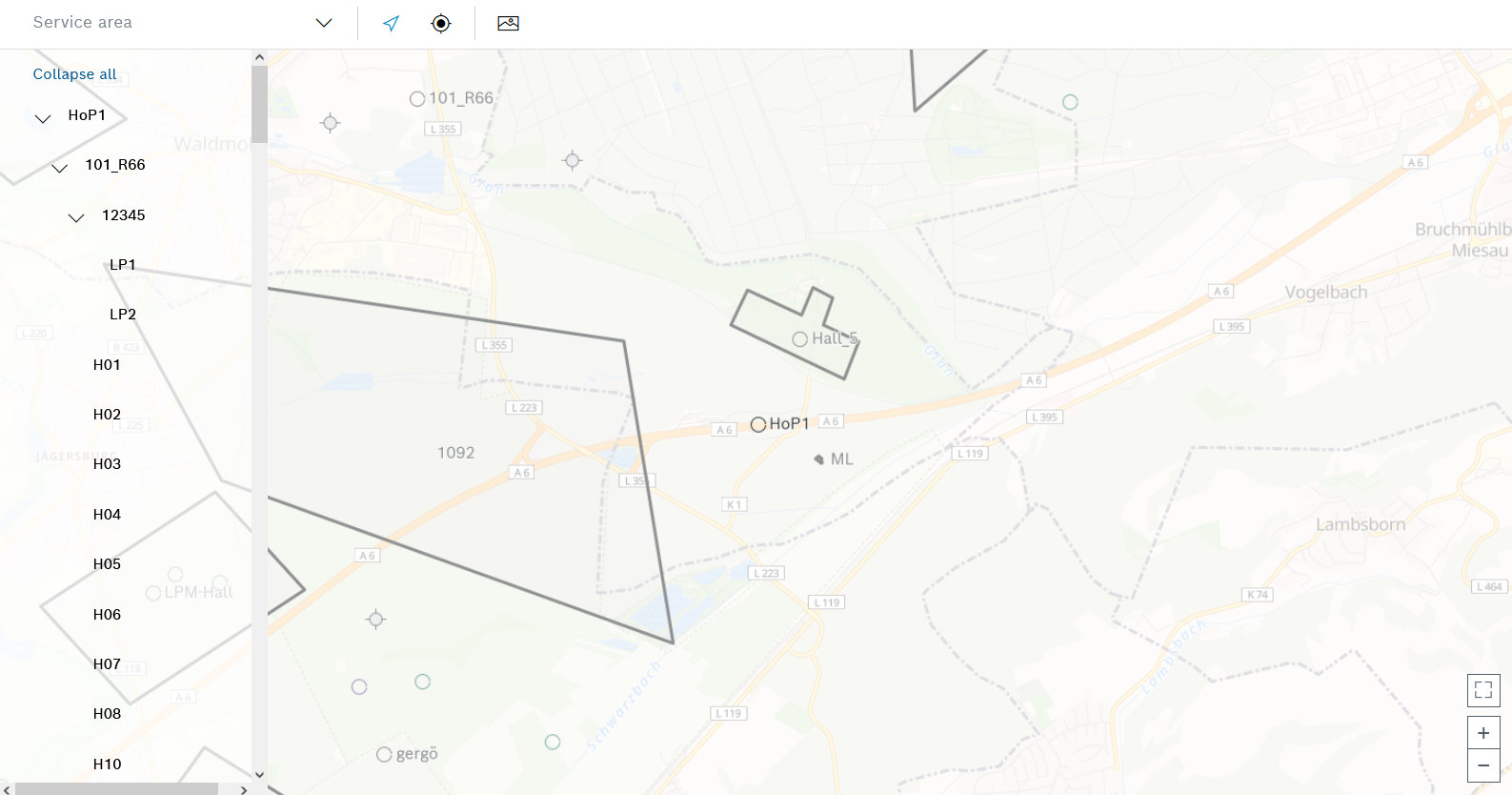
Maps > Locations can be used to display locations and create the associated buildings, halls, stations and storage locations. These locations can be provided with geographical coordinates and boundaries (outlines) and connected by tracks and intersections. This can be helpful for drivers with, for example, the milk run application.
To the left of the map view, the hierarchy of locations is shown in the following order:
Move the map within the map view while holding down the left mouse button.
Element/icon |
Description |
|---|---|
Coverage area |
Select service areas to be displayed with colored lines in the map view. |
|
Center the view in the map on the selected location in the hierarchy.
|
|
Insert intersection. |
|
Activate or deactivate image editing. |
|
Switch to full screen mode or exit full screen mode. |
|
Zooming |
|
Expand or collapse hierarchy level. |